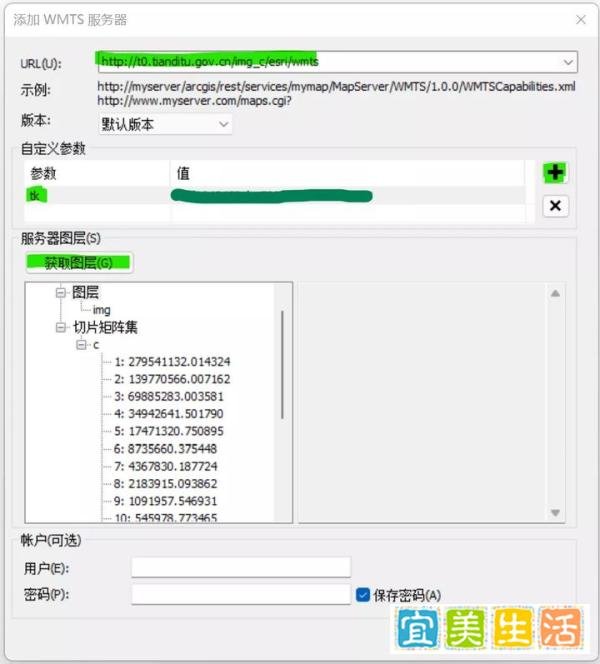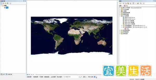
在ArcGIS中加载天地图底图服务,可通过以下步骤实现,同时提供相关插件获取方式:
数据禾开发的在线地图插件支持加载高德、谷歌、天地图等多款在线地图作为底图,下载链接及提取码如下:
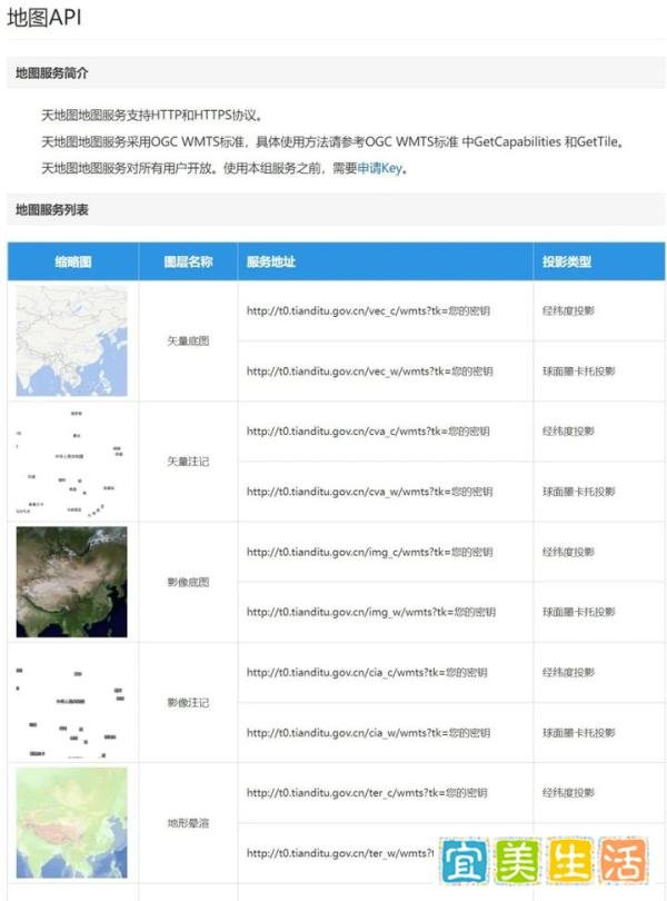
天地图默认服务地址需添加esri参数,修改后的地址如下(均为经纬度投影):
底图:http://t0.tianditu.gov.cn/vec_c/esri/wmts
注记:http://t0.tianditu.gov.cn/cva_c/esri/wmts
底图:http://t0.tianditu.gov.cn/img_c/esri/wmts
注记:http://t0.tianditu.gov.cn/cia_c/esri/wmts
底图:http://t0.tianditu.gov.cn/ter_c/esri/wmts
注记:http://t0.tianditu.gov.cn/cta_c/esri/wmts
全球境界:http://t0.tianditu.gov.cn/ibo_c/esri/wmts
矢量英文注记:http://t0.tianditu.gov.cn/eva_c/esri/wmts
影像英文注记:http://t0.tianditu.gov.cn/eia_c/esri/wmts
URL:http://t0.tianditu.gov.cn/img_c/esri/wmts
自定义参数:点击+,参数名填tk,值为申请的Key。
点击获取图层,确认分级图层后点击确定。